Cape Town has a rich heritage. part of this heritage is a wonderful collection of historical maps, surveys, plans, and photographs which form part of the Environmental Heritage Resources Information Centre (EHRIC). The map series includes the work of William Barclay Snow, Alexander Wilson and Walter Thom.
These maps are curated at the Environment and Heritage Resource Information Centre in Wale Street. While general access to the original documents is not possible due to their age, frailty and size, members of the public should soon be able to access them digitally via the City Map Viewer. The heritage protection overlay zone, indicating provincial and national heritage sites, are already available on the City Map Viewer, and much additional heritage information is available on the City’s website.
William Barclay Snow’s plan, which is dated 1862 is drawn at a scale of 1 inch to 10 Cape Roods and covers an area from Camps Bay in the West to the Military lines at Woodstock (today the Tollgate Bus Depot)and Zonnebloem College in the east, the slopes of Table Mountain and Devil’s Hill (today Devil’s Peak in the south), and the coastline, as it existed in 1862, in the north.

The significance of Snow’s plan is in the detail to which the survey is done. It shows all buildings with specific reference to churches, military, and government buildings, as well as all topographical and cadastral information.
‘This is very fascinating. We see the railway line as it was in 1862. Notice how much sea has been claimed over the years – the shore has been moved back with the reclamation of land from the sea. The old barracks (built as a hospital in the latter 1700s) was on the site of Cape Town’s Magistrate’s Court and SAPS Cape Town central. The Grand Parade has remained in the same place,’ said the City’s Mayoral Committee Member for Spatial Planning and Environment, Alderman Marian Nieuwoudt.
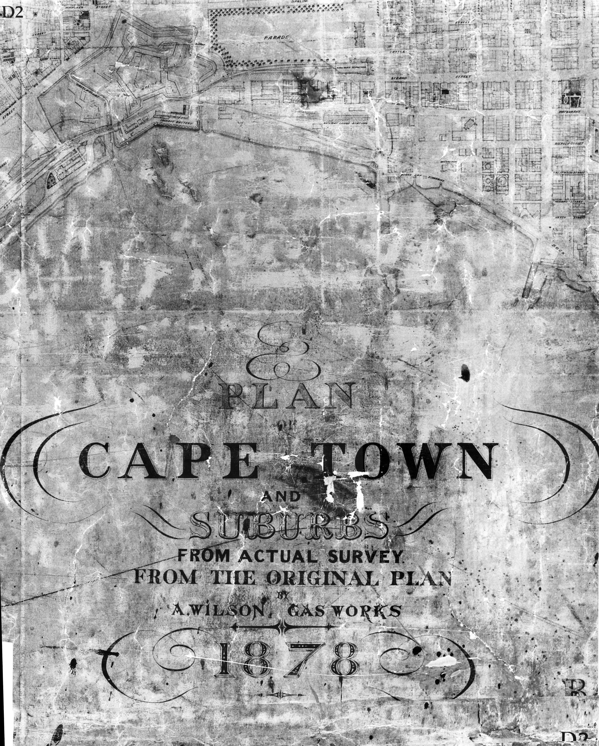
Alexander Wilson was born in Edinburgh in 1813 and had been Manager of the Gas Works since its inception in 1845. The Cape Argus, of 31 January 1860, reported that, ‘Mr Wilson, the engineer of the Cape Town Gas Works, has completed a superb topographical map of Cape Town and the whole of Table Valley. It presents a most accurate picture of the whole valley from the sea to the slopes of Table Mountain, giving the mountain streams and water leadings with great precision.’
Wilson’s map was re-issued in 1872 as “The Topographical Plan of Cape Town and Suburbs”. In a letter to the Cape Argus of 11 November 1875, Alexander Wilson explained the origins of his map, after waiting years for the Municipality or Government to get a surveyor to make a map and stated, ‘Every gas and water company needs an accurate map’. He did the work himself and in 1857 gave the gas company a map showing their mains of fifteen miles. This map was sufficient for gas purposes but not comprehensive enough for Municipal plans or for water. He then made a second, more extended survey.
After 45 years as the Manager of Cape Town’s Gas Works, Alexander Wilson died on 11 March 1890. He was buried at St Peter’s Church, Mowbray.

‘Once again, it is fascinating how much reclaimed shoreline there is. This map is more revealing about the strategic placement of the Castle. In the present, it is so central, but seeing the old map one can see how important it was as a defensive building on the coast. In fact, at one time much of what is now Strand Street was where the sea once was. And the Civic Centre was right out in Table Bay.
‘In 1936, the Castle was declared a National Heritage site, the five-pointed star shape was a shape often used for such defensive structures and has now become a symbol of the South African defense force. Interestingly, the regular gridiron plan of the city is still much the same today,’ said Alderman Nieuwoudt.
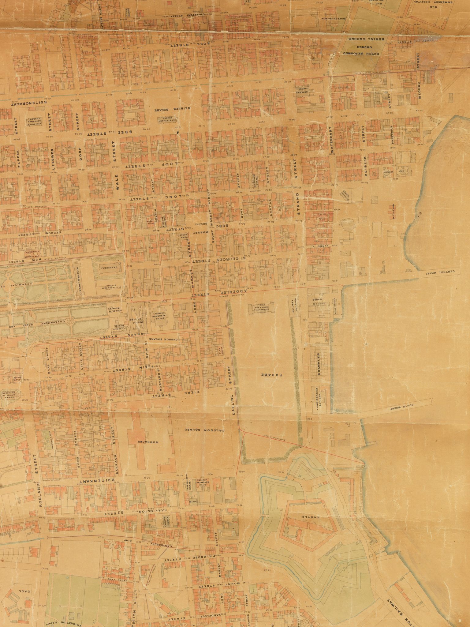
Walter Thom was an Ordnance Surveyor from England who was contracted by the Municipal Council of the City of Cape Town. In 1892, he was appointed to complete a survey of the whole of the city of Cape Town, specifically for the new drainage system which was to be put into place. He was requested to show as many properties and buildings as possible. During 1895, when 10 sheets were completed and several others in the course of progress, Thom was employed in District Six to set out road improvement lines. While he was busy with District Six, his Assistant Surveyor continued the survey of the City.
In 1897, Thom was commissioned to extend the topographical survey of the town and environs to include all areas from Woodstock to Green Point. This survey, which took three years to complete, is now known as “Thom’s Survey”. Thom’s survey dated Circa 1900 consists of a key plan at a scale of 1 inch to 500 feet English or 1:6 000 and 134 sheets at a scale of 1 inch to 50 feet English.
Thom resigned office and left the services of the Municipality on May 31, 1900, and returned to England, but not before the main survey was completed. Thom’s survey, which was a monument to his skill, was in constant use until about 1963.
‘At some sites and on the old map, we see more industrial buildings such as wood yards, timber mills and flour mills. Now these sites are prime tourism and shopping destinations which shows how the shopfronts have changed to suit the economic changes. It makes sense that on the older map we see so many raw material workshops near the dock, which would have made moving these materials easier for trade,’ said Alderman Nieuwoudt.

